The Latest From the Coalition
Topics
- Agriculture
- COVID-19
- Civic Engagement
- Clean Water Profiles
- Climate Change
- Coalition Success
- Communications
- Conference
- DC
- Data Centers
- Delaware
- Energy
- Environmental Justice
- Equity
- Federal Affairs
- Land Use
- Maryland
- Member Highlight
- New York
- Pennsylvania
- Stormwater
- TMDL
- Toxics
- Virginia
- West Virginia
- YPC Program
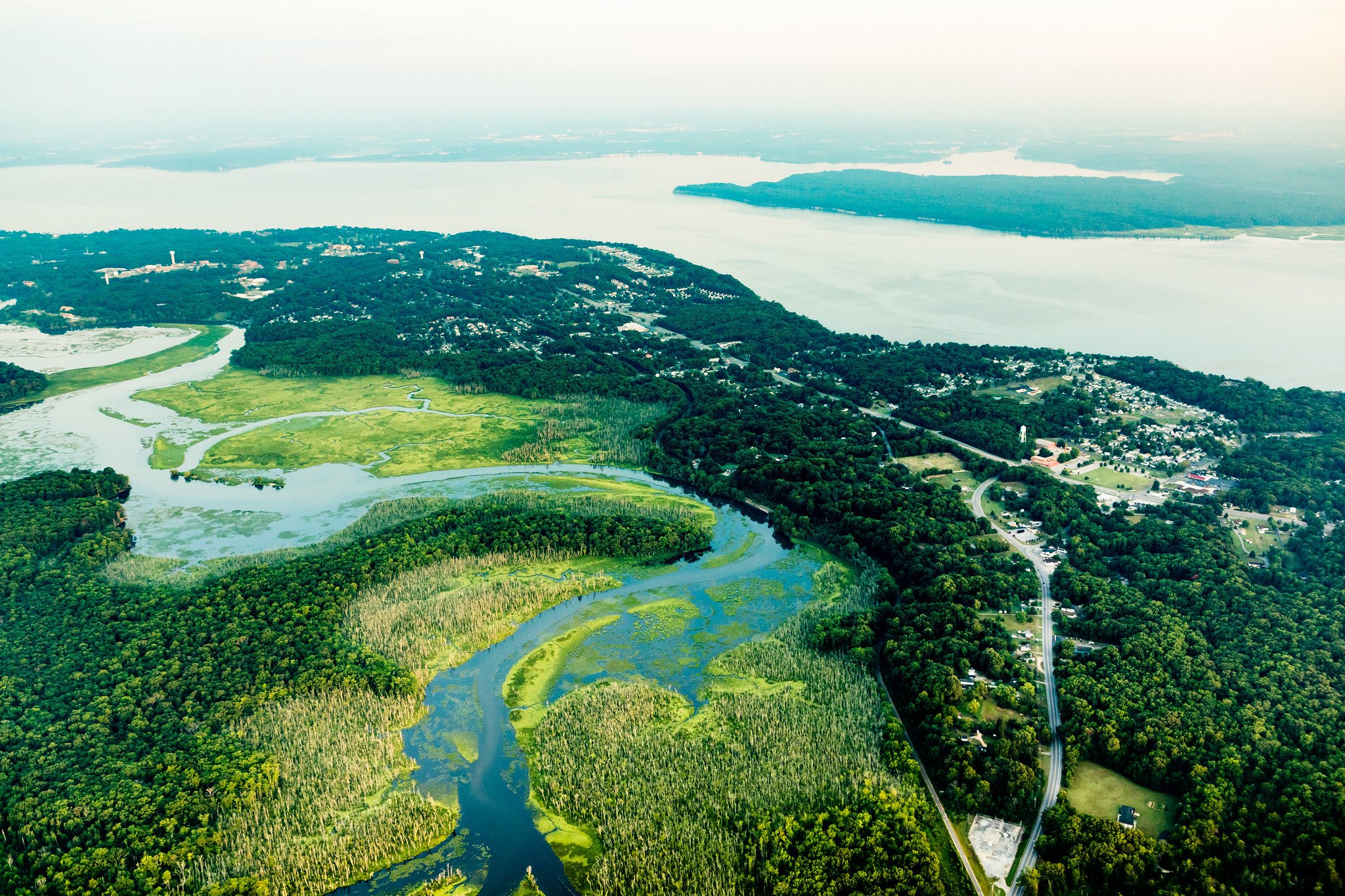
Member Highlight: Mattawoman Watershed Society
For this Member Highlight, the Coalition’s Maryland Lead, Marisa Olszewski, interviews Bonnie Bick, Vice President of Mattawoman Watershed Society and Tina Wilson, MWS Committee on Strategies and Coalition Building.
Clean Water Profile: Ridgway "Ridge" Hall
Our Clean Water Profile series continues, highlighting a long-time advocate and legal warrior for clean water. Ridgway Hall, known by friends and colleagues as “Ridge,” is a walking encyclopedia of the history of Chesapeake Bay restoration efforts, particularly as it relates to its legal battles.

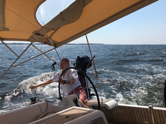
Wetlands Watch: Resilience Approaches of a Virginia Coalition Member
Starting out in 1999 as a volunteer group, Wetlands Watch met around a kitchen table to fight a wetlands permit. “We stuck around and expanded to advocate for better protection of wetlands statewide. In 2007, after meeting with scientists about the impacts of sea level rise, we began to concentrate on protecting wetlands from climate change impacts. One of the first groups in the country to work on that, our goal is to protect Virginia’s wetlands today, tomorrow, and forever.”

Clean Water Advocacy in the Chesapeake Bay Watershed
Everyone wants it. It provides countless benefits to public health, local economies, and quality of life. With it, wildlife thrives, communities flourish, and anglers smile. I'm talking of course, about clean water.

Entering the Next Chapter with Blue Water Baltimore
In 2021, Maryland State Delegate Tony Bridges led legislation improving forest conservation , environmental justice, and voted for clean water on policies related to stormwater, transportation, and land use. All of this will serve him well as he begins his new role as Executive Director of Blue Water Baltimore.

Propelling Diversity, Equity, Inclusion, and Justice Work Forward
For the last five years, the Choose Clean Water Coalition has demonstrated our commitment to protecting communities facing environmental injustices.

A Shot in the Arm for Chesapeake Bay Restoration
With the Senate’s passage of the bipartisan Infrastructure Investment and Jobs Act, efforts to restore the Chesapeake Bay and its rivers and streams will receive an important boost.
Finding Peace in Nature: Cool Spring Nature Preserve in West Virginia
With the heat of the summer coming on and the pandemic still in full swing, many families have been spending a lot of time together, most often indoors. But there is so much to explore outside in nature and it is a great way to stay healthy and possibly sane.
Archives: Categories
- Agriculture
- COVID-19
- Civic Engagement
- Clean Water Profiles
- Climate Change
- Coalition Success
- Communications
- Conference
- DC
- Data Centers
- Delaware
- Energy
- Environmental Justice
- Equity
- Federal Affairs
- Land Use
- Maryland
- Member Highlight
- New York
- Pennsylvania
- Stormwater
- TMDL
- Toxics
- Virginia
- West Virginia
- YPC Program
Tags
- Anacostia River
- COVID-19
- Chesapeake Bay Program
- Clean Water Act
- Clean Water Rule
- Climate Change
- Conowingo
- DEI
- Delaware
- Environmental Justice
- Equity
- Farm
- Forests
- Fracking
- Green Infrastructure
- Hill Day
- Invasive Species
- Maryland
- Midpoint Assessment
- New York
- Offshore Drilling
- Pennsylvania
- Pipeline
- Project Tours
- Public Engagement
- Stormwater
- Virginia
- West Virginia
- YPC
- Youth Engagement